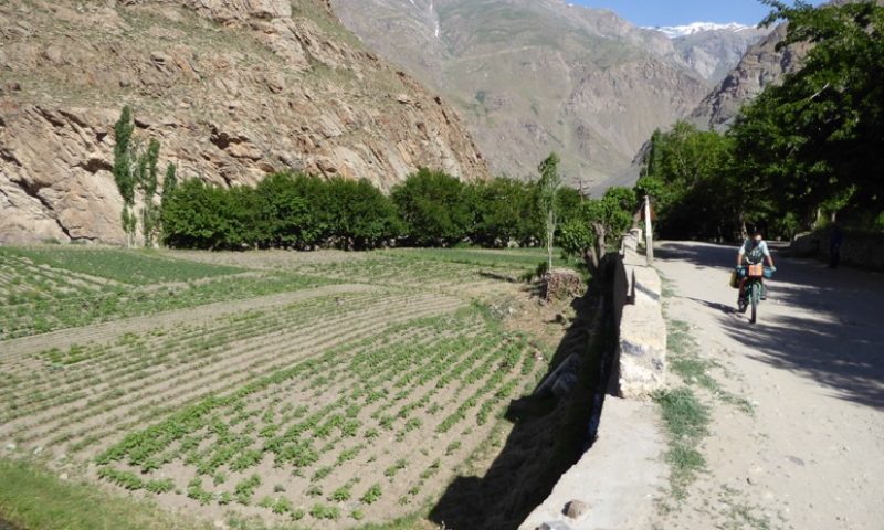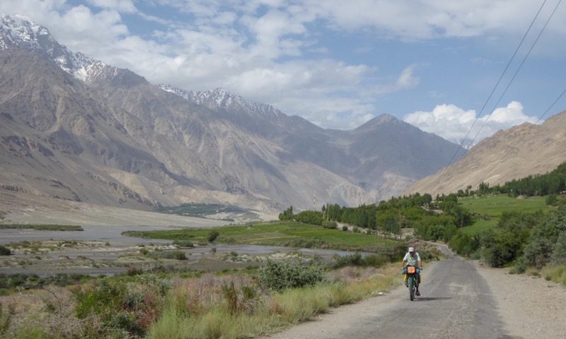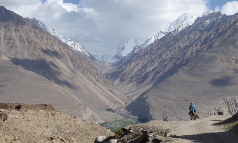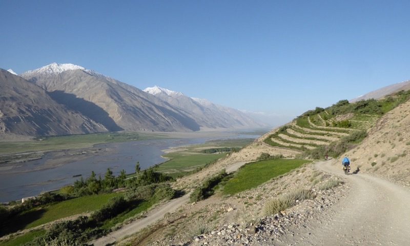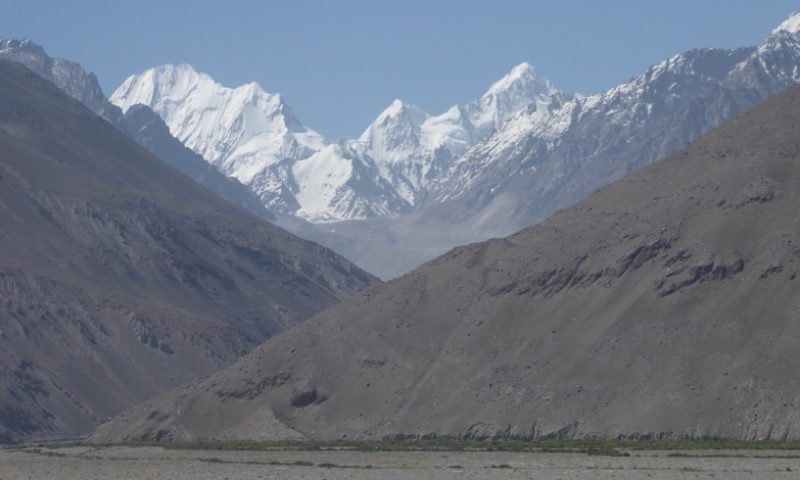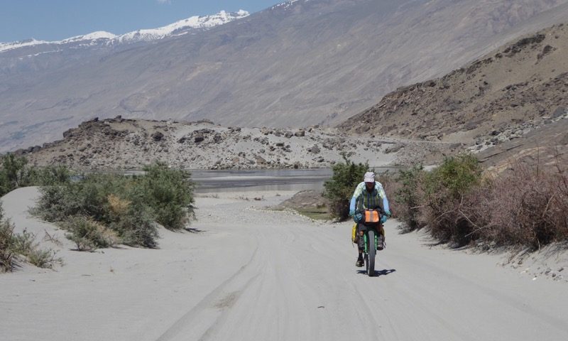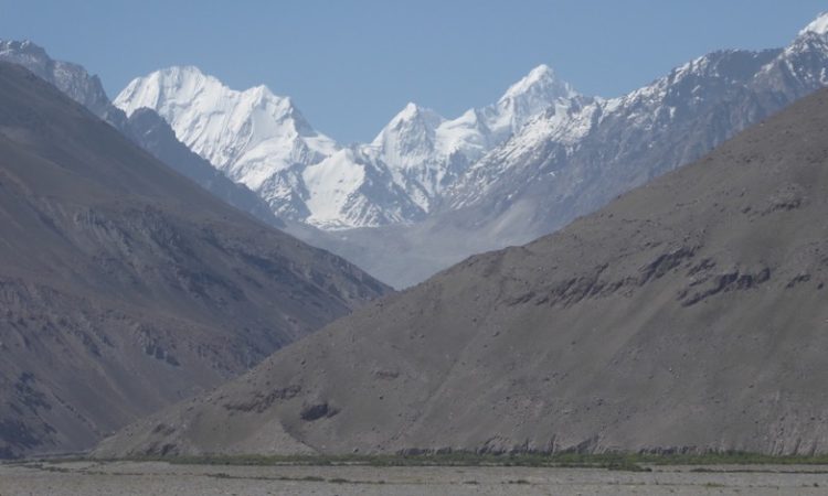
From Khorog we followed a route along the edge of the Wakhan corridor. The corridor is a thin strip of land belonging to Afghanistan which separates the former USSR ruled Tajikistan and the British Empire ruled Indian sub continent, specifically what is now Pakistan. The river forms the northern border of the Wakhan Corridor and the mighty Hindu Kush mountain range the southern border. At its skinniest the Wakhan Corridor is about 20km wide – end of today’s geography lesson!
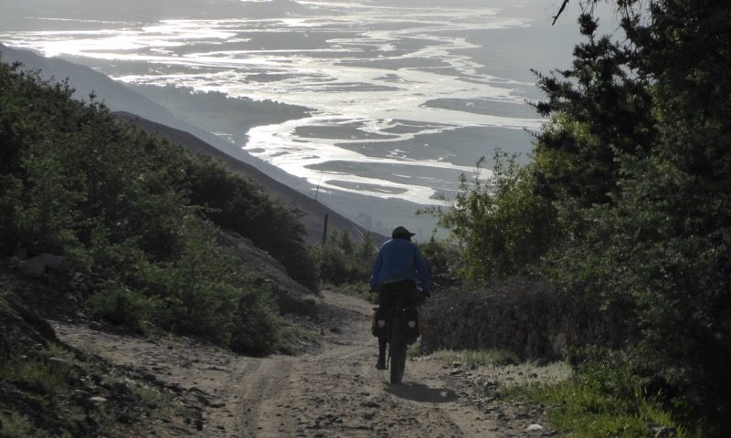
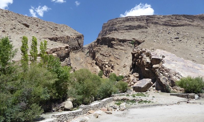
For the first 2 days we ascended slowly thru gorge country to the small town of Ishkoshim where it is possible to cross a bridge into Afghanistan if you have a visa. We met our good friends Marc and Chris here and spent a night catching up on their cycle adventures coming in the opposite direction.
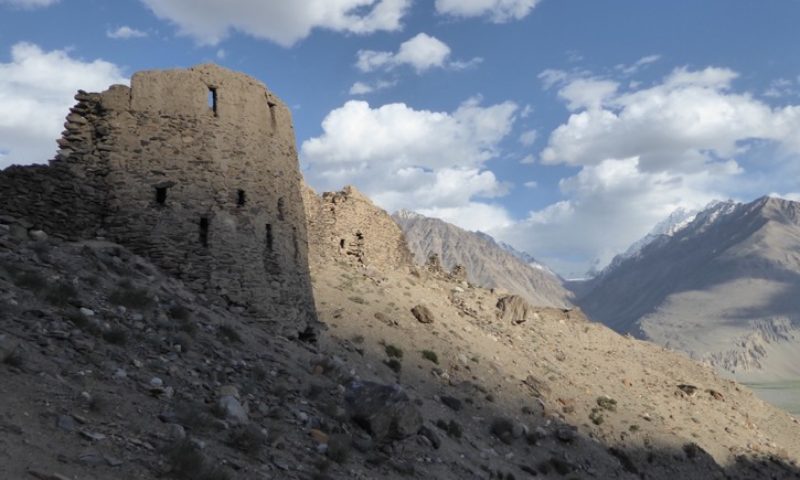
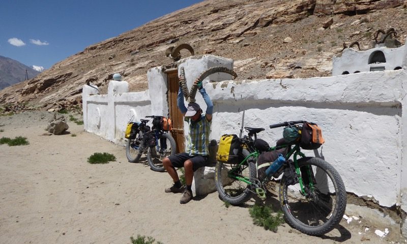
We parted ways the next morning. In our direction the valley opened out and flattened in gradient. We had met a kiwi family the night previous and we were lucky to hitch a lift with them at the end of the day up a 500m climb to Bibi Fatima hot springs and the Yamchun Fort ruins where we camped.
I joined local women in the women’s hot spring area – in a cavern created by an overhanging natural wall poring with hot water adjoining the building. The water was hot and clean – a definite highlight. I have to keep the memory of the experience in my mind as it was not possible to photograph.
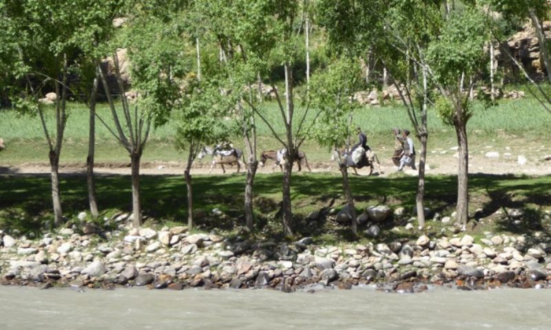
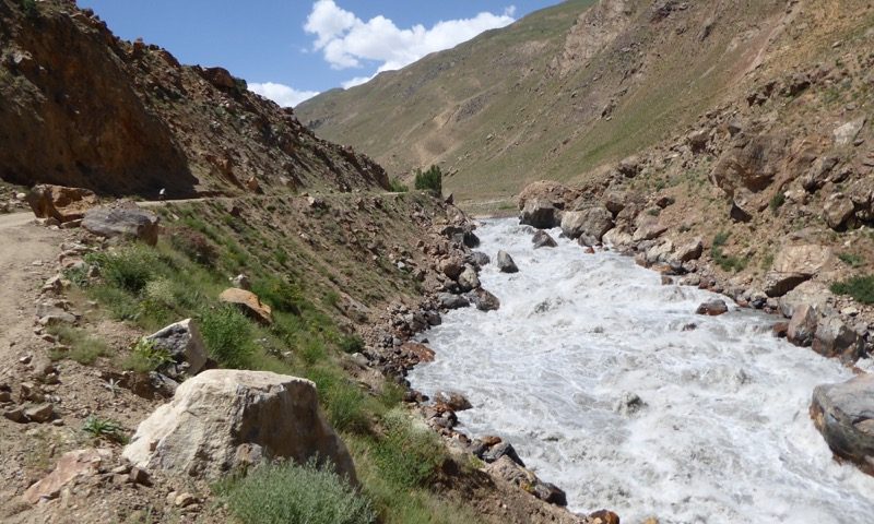
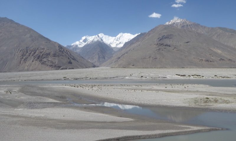
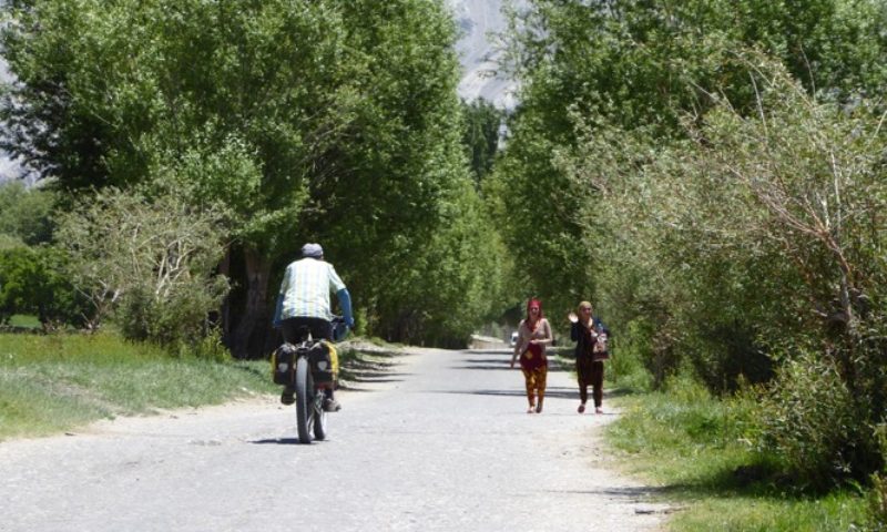
It was a fun ride back down to the Panj river the next morning and we joined kiwi Annie and her two adult kids for a second breakfast at their homestay. That afternoon we reached the village of Langar, where the Wakhan and Pamir tributaries meet and form the Panj river which we had followed for 7 biking days since Kailakhum.
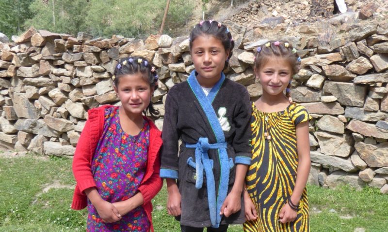
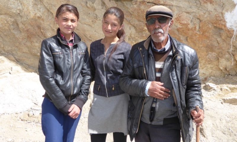
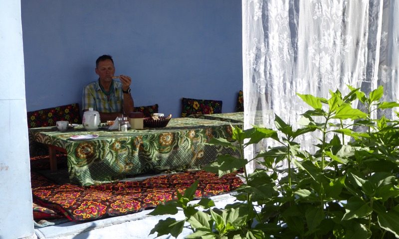
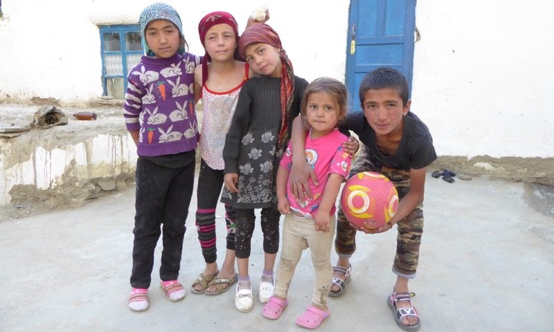
In Langar 2 cute young girls solicited us to their family homestay where we stayed the night. The food wasn’t the best but the family were lovely and good knowing the money would be put to good use.