‘Hand on the heart Tajikistan’ sums up one of the lovely gestures we get as we ride along past people. The right hand is placed over the heart as a sign of respect. We experienced it early on from children and wondered if it was a ‘respect for elders’ gesture but no it works for anyone to anyone. I guess it is a stronger statement than a small nod of the head and it is easy to reciprocate while riding.
Back to the Shakdara story… It was a cruisy ride back to the main Shakdara valley next morning past goats being herded across the river and a herd of yaks. The marmots weren’t awake yet. It is funny to watch their fat little bodies sprinting between marmot holes when they hear us coming.
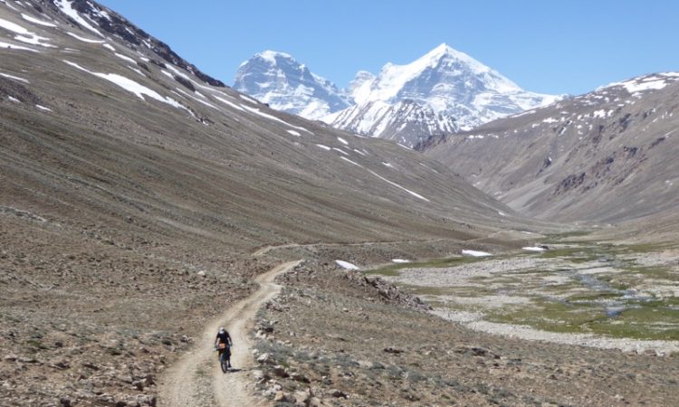
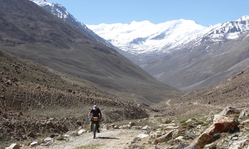
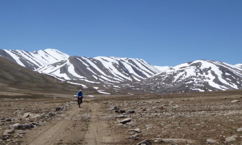
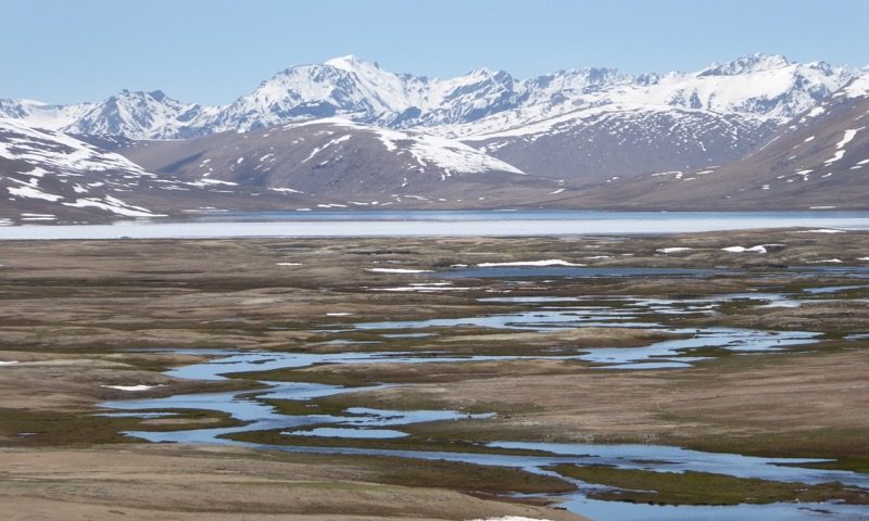
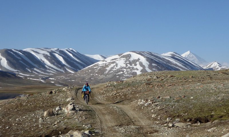
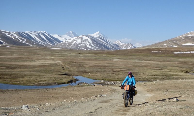
We made it back across the river in one crossing this time and warmed up in the sun before the long 20km climb to the 4100m Maysara pass. Some pushing on the steeper, looser sections was required and lots of stops to catch our breath. The other reason to do this loop, besides the stunning scenery was to gain some altitude acclimatisation.
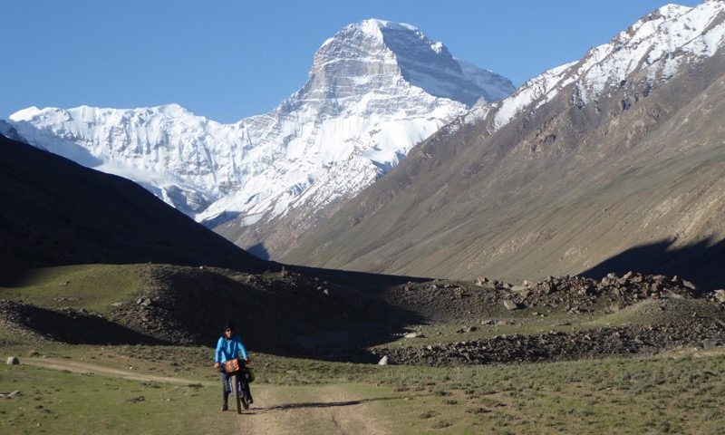
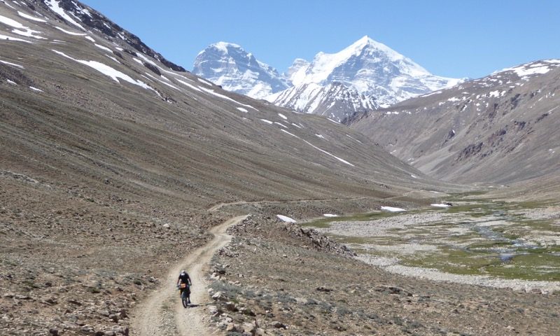
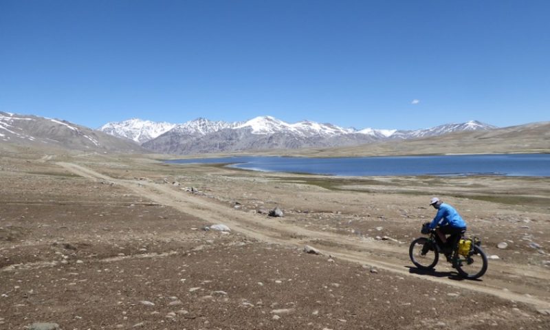
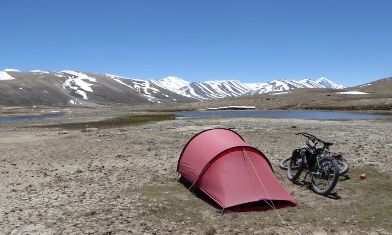
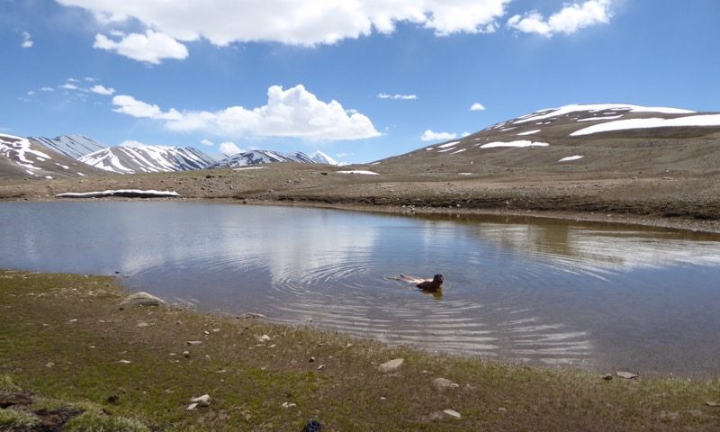
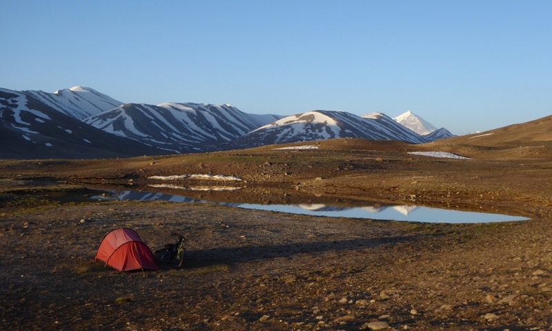
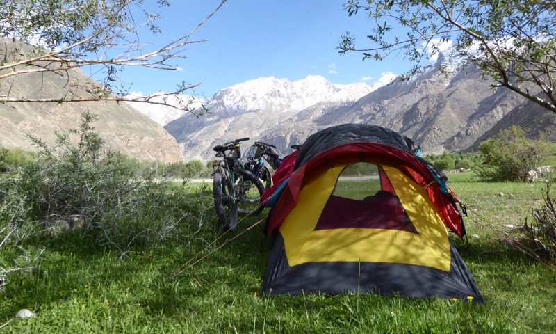
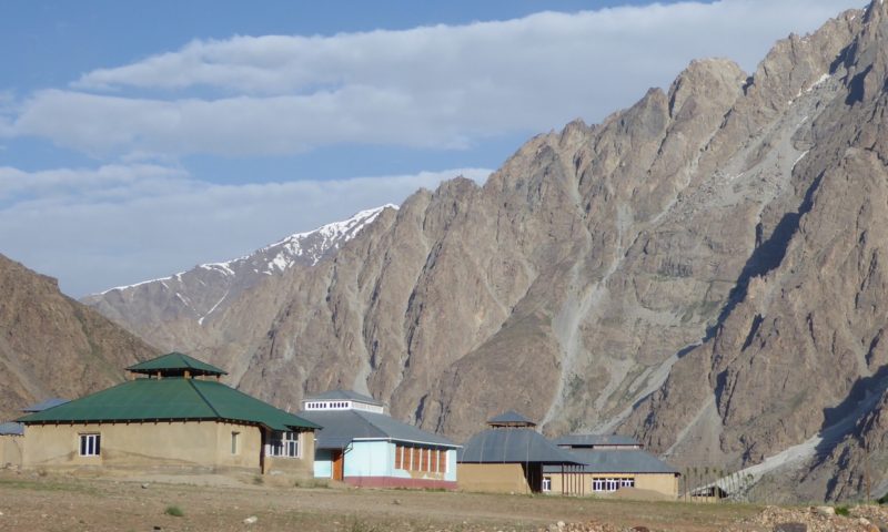
Engels and Karl Marx peaks were dominant in the down valley views behind us. It was great to reach the high plateau that was the pass and we camped beside a small tarn near the larger lake at the pass. We had time to carry on down to the Pamir Highway that day but we wanted to camp high after the effort it took to get up there and it was so beautiful. We also had a tricky river crossing the next day 3km from the pass so we wanted to hit it early morning as the river was snow fed.
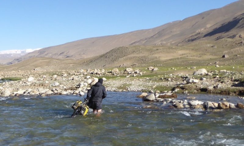
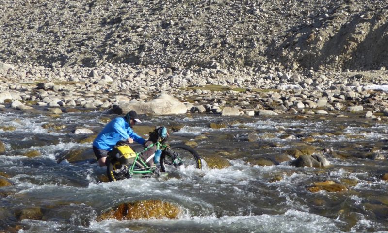
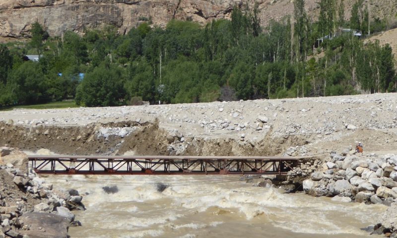
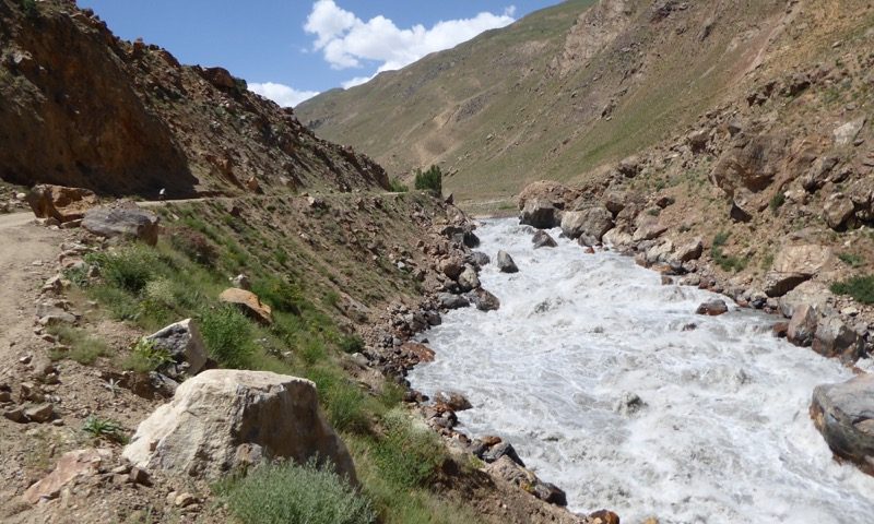
We woke to a light frost and another great day. Leaving camp we really felt we were on the roof of the world. Down at the crux river crossing we contemplated a good line. Alan crossed with his bike and found it trickier than it looked because of the slippery uneven boulders on the river bed, deep holes and the deceptive strength of the flow. Returning to help me he slipped and half submerged himself – not fun at 7am in the high Pamirs. Together we got my bike across without incident.
(NOTE: There is an alternative route if the river is too high- from our camp you can head on the track to Turumtai kul (lake) and after a couple of km veer rightwards to the river draining the lake, there is a much easier crossing and a rough vehicle track on the far side of the river that joins the main track not long after the trickier crossing)
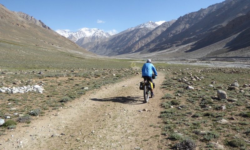
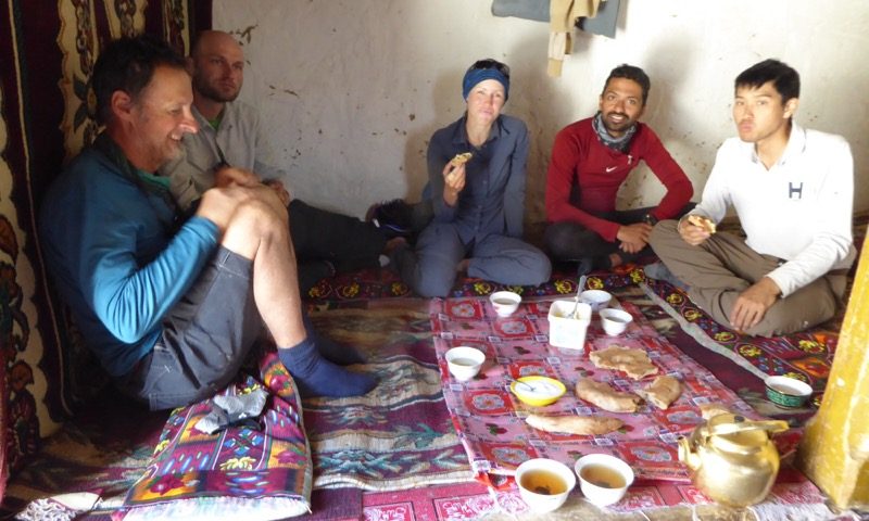
We descended the rough track to the Pamir Highway – a paved ribbon in the Gunt Valley below. It was smooth as silk for about 20 fast downhill kms. We passed a stack of bikes outside a house and it turned out to be 4 cyclists we had met in Dushanbe and then in Khorogh. We joined them for tea, bread and butter kindly set out by the local family.
The valley started greening up and we started seeing pitched corrugated roofs on newer houses. We found a nice campsite with the key elements of shade, water, flatness and a good view.
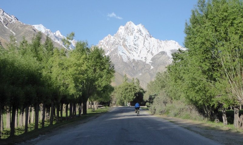
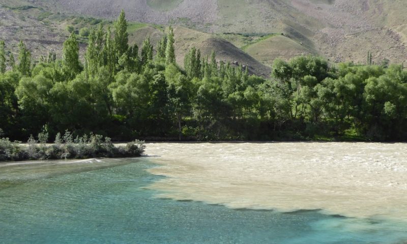
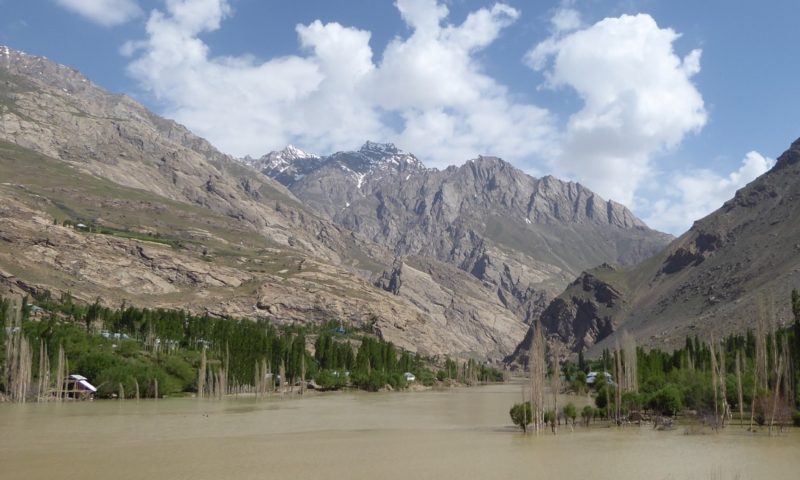
On our last day to Khorogh we were cycling before 6. The wind is predominantly up valley and it starts before lunch so we wanted to get to town before it strengthened. The gorge became more dramatic and there were beautiful snowy peaks above. The river had risen and turned brown overnight perhaps from a landslide upstream and downstream we were warned there was a landslide blocking the road which fortunately was cleared by the time we got there. The mountains are always on the move it seems..
At the police checkpoint 5km before Khorogh we came across our first corrupt policeman. We had been warned that we may be pressured to pay money because we were not wearing a helmet, we refused of course and were very happy to get our passports handed back – he was definitely playing with us.
It felt like coming home arriving back to the Pamir Lodge- same friendly faces of the staff and a different batch of cyclists and tourists.
We are resting up for a couple of days before heading up the Wakhan Valley and to Murghab, the next town of a decent size but questionable internet. It will be a couple of weeks before I get a chance to post the next blog…
