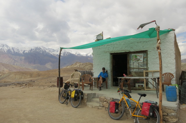
One day of eating, relaxing and clothes washing in Leh seemed enough and we made a late start down valley. There seemed less traffic on this road that links Leh to Srinigar – the final destination of our journey. As we were climbing up to a saddle a small van pulled up alongside and the occupants said ‘hello’. It turned out to be the two tour leaders of a cycle group we’d met in Keylong and they’d given us a spare tube. They were going to be staying at the Nimo, where we had planned to stay so we arranged to meet later in the day.
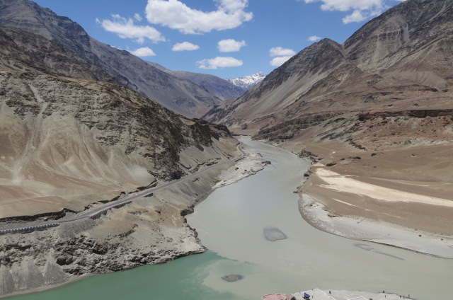
After the climb, the road dropped to the Indus, at the junction where the Zanskar river joins. The Zanskar flows from the town of Padum where we are planning to go. In the winter it freezes over and is traversable, cutting short the mountainous trek from Padum to Leh considerably.
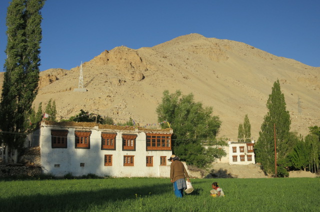
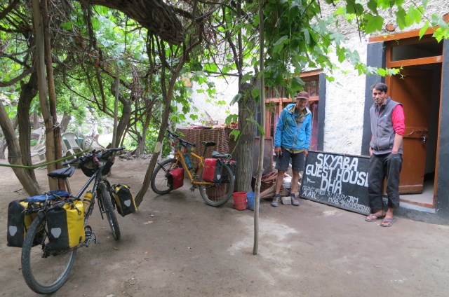
Nimo is a lush green town and we found a guesthouse to camp at. We took a walk to where the guides were staying and it turned out to be the old residence of the King of Ladakh’s brother (the tax collector of the region). French people were doing up the residence and promoting it as a boutique hotel. It was a large house/small palace and the partially completed restoration work was impressive. We had an interesting dinner there (soup, chicken risotto and a ‘to die for’ cream caramel desert) and talked mainly about the tourism issues with a small guiding company, comparing NZ to India.
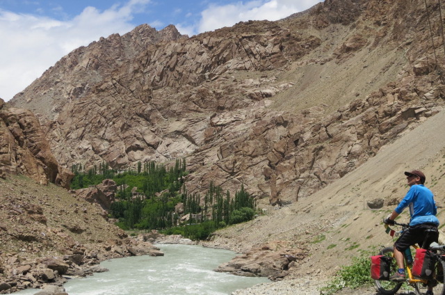
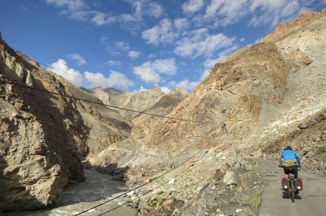
Following the Indus the next day was similar to biking along a drier version of the Kawarau gorge (in a nasty head wind). We zeroed in on the best place to eat in Kahltse, where we stayed the night, pretty quickly and didn’t stray far that afternoon/evening. No we are not getting skinnier!
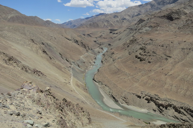
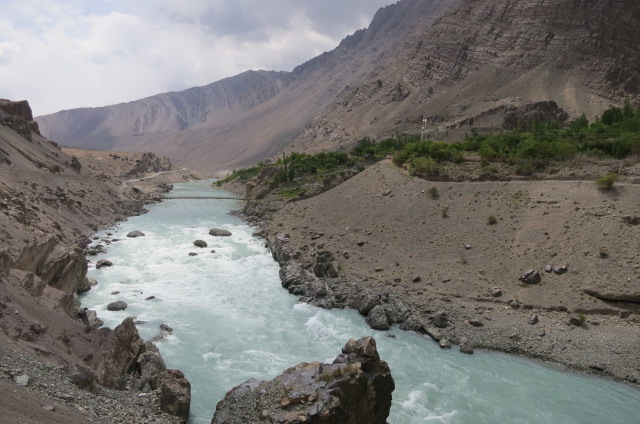
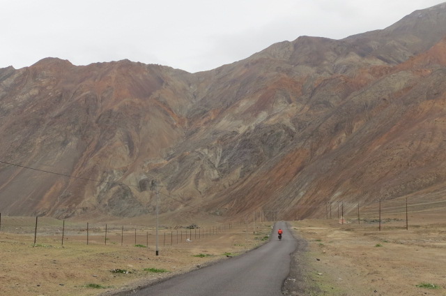
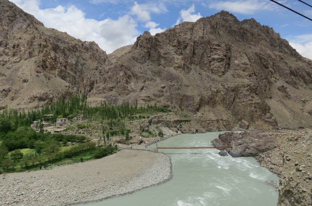
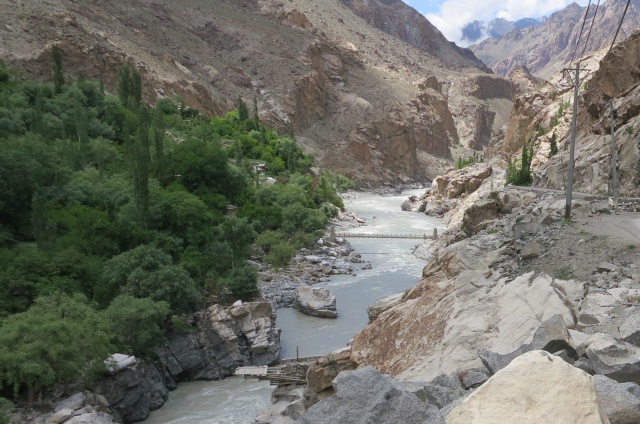
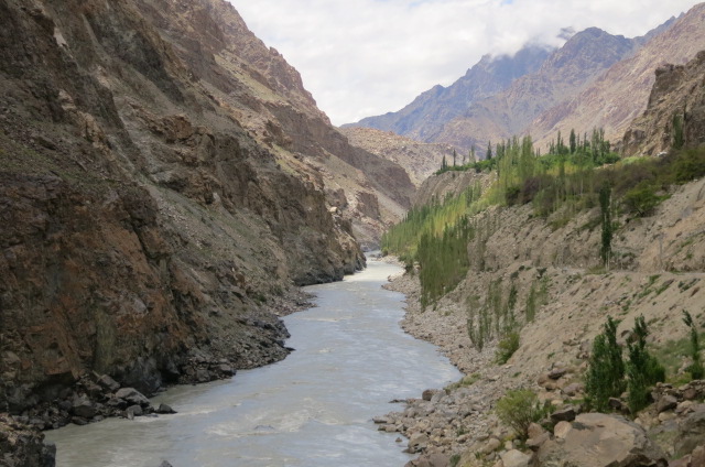
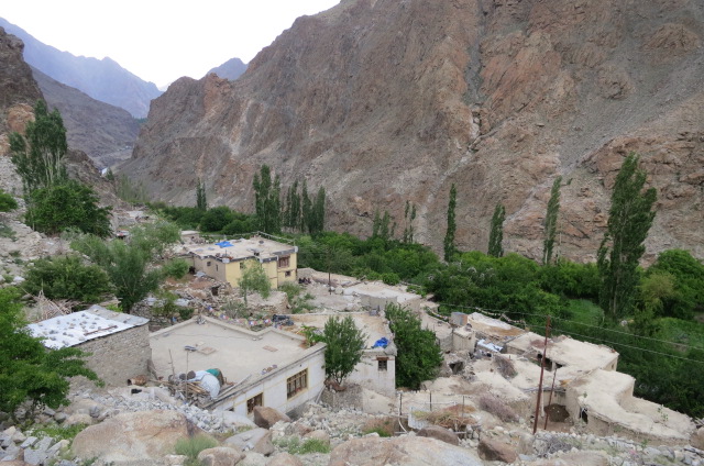
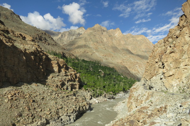
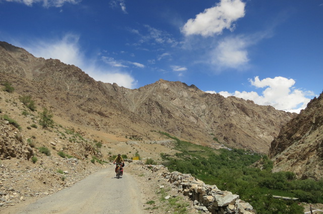
The highway to Srinigar climbs away from the Indus River at the village of Khaltse and that is where all the tourist traffic goes. In contrast we planned to stay with the Indus river a bit longer, so the next day, with Inner Line permit in hand, and after the police had a ride of our bikes, we enjoyed the quiet, single lane, tarmac road alongside the river. No wind either and the sun appeared later in the day. The growing river and dry gorge was interspersed with villages, obvious by their green mantles.
We were heading to the wee village of Dah, 7 km past where we planned to leave the Indus the next day. The headwind had sprung up and Alan questioned the reason to to go to Dah and all I could come up with was ‘because it is there’ and bike off in that direction. What can a man do?
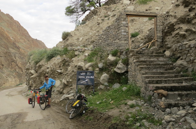
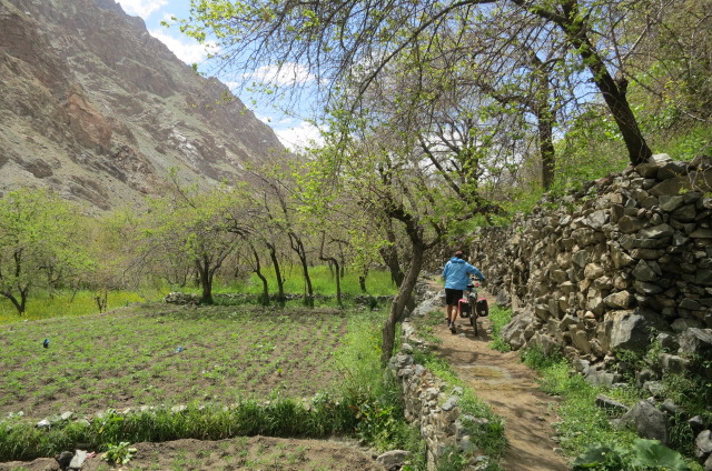
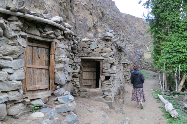
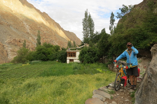
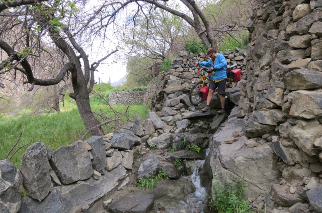
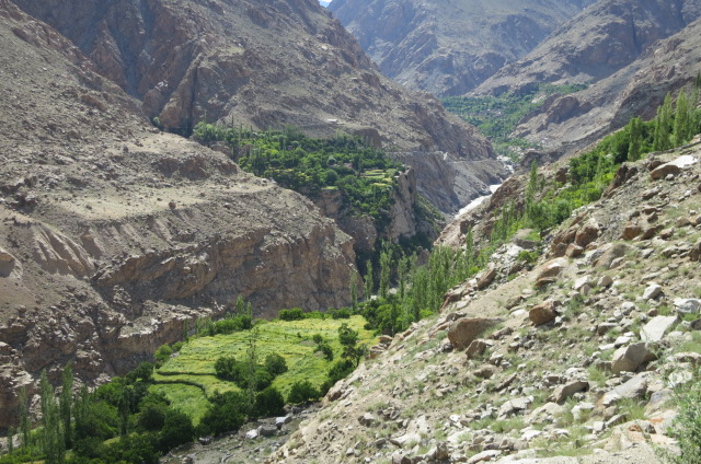
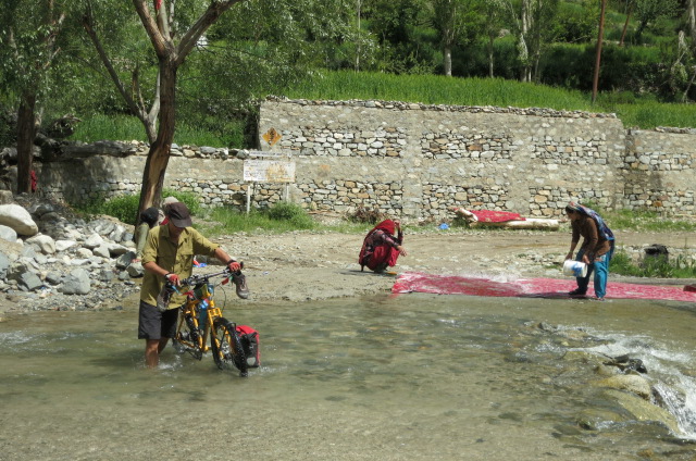
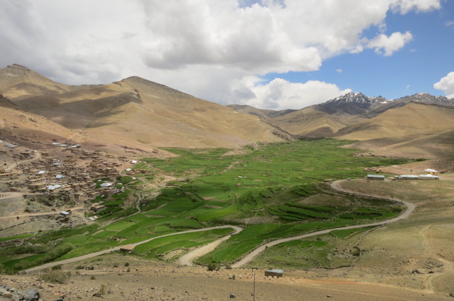
Dah is a walk in village and required 30 mins of mostly uphill pushing of the bikes. There was a guesthouse and on talking with the host we soon discovered two very good reasons to be there.
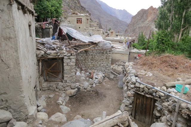
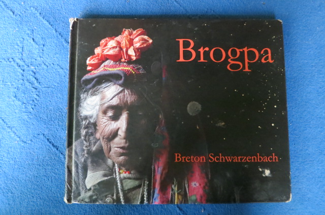
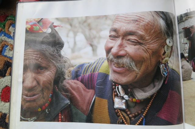
Dah is a village of Brokpa people – unusual for the colourful flowers that are worn on their hats and the men stitch buttons in their ears. It does go deeper than that – their heritage is a mix of Caucasian (from Alexander the Great it is thought) and Central Asian, their traditional religion worshipped animal deities but they have adopted Budhism and they are renowned for superior horticultural abilities. We wandered thru the village and sat with three older woman and a man adorned with the colourful hats and it took great will power not to take out the camera. Our host Dorje, told us they do not appreciate strangers taking photos so we respected that. (The photos in the gallery below were taken from a book that was at the guest house)
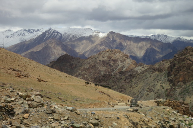
The second very good reason to go to Dah, we found out, was that we could carry on down the Indus for another 20km, and, army checkpost willing we could carry on to Kargil via another unmarked pass. We think it is not advertised because it goes so close to the Pakistan border and maybe it is primarily for the army camps to have alternate access in and out of the Indus. The military prescence has been huge alongside the Indus. Of course the locals use the road and we were told it was mostly paved and in good condition, As for the pass height we were quoted 12,000 – 14,000 feet.
The bonus 20km down alongside the river were stunning – very little climbing and great views of the feisty Indus all the way. The army had no problem with us being there and didn’t even check our permits at the bottom of the climb at Batalik. It turned out to be our steepest pass yet – the road followed up a narrow sided gorge for the initial 800m (vertical) where it opened out and there were geographical options to relieve the gradient. It turned out to be a bigger climb than expected (1350m) but we didn’t regret the route choice. From the summit we had a cruisy 36km descent to the large town of Kargil, losing all the height we had gained at approx half the steepness.
It had been a big day so we were glad to collapse in a hotel in the centre of town – too close to the town mosques as we found in the early hours when competing (loudspeaker) calls to prayer kept us awake for half an hour. From a low key Budhist environment, all of a sudden we are immersed in a Muslim society, there are predominantly men in the streets, all women wear headscarves and as a foreign woman I am feeling more conspicuous than I have all trip. It is certainly not as cruisy as Budhist towns.
Our plan is a rest day then to ride to Padum in the Zanskar Valley..
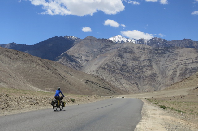
Dropping down to the Indus
